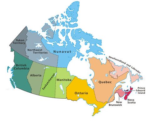
Today we were identifying the political boundaries within Canada, and a few students ran out of time before they were able to finish colouring their map. This is the map we were using in class to help see a colourful representation of the boundaries, and it was requested that I place the map on the blog as a reference by the students who needed to finish.
For more information, Natural Resources Canada has an excellent selection of maps to explore.
No comments:
Post a Comment
Comments will be moderated and should appear on the site within a day or two. You are encouraged to sign a name to your comment to help us see who is visiting our blog. Thanks!